Gloucester Point, Virginia, USA
MarineGEO Lower Chesapeake Bay & Virginia Coastal Lagoons encompasses a wide range of marine habitats at a climatic transition zone between temperate and sub-tropical that have been extensively monitored for decades, making it an incredible place for research.
This observatory covers the lower Chesapeake Bay and the Virginia Coastal Lagoons. It is a collaborative partnership lead by The Virginia Institute of Marine Science (VIMS) at William & Mary, and includes VIMS’ Gloucester Point main campus including the Coastal & Estuarine Ecology Laboratory (CEEL) and the Chesapeake Bay National Estuarine Research Reserve Site (CBNERRS) as well as the Eastern Shore Laboratory (ESL), The Nature Conservancy (TNC) Virginia at The Brownsville Preserve, and the University of Virginia’s (UVA) Virginia Coastal Reserve Long-Term Ecological Research Program (VCR-LTER). Together these institutions cover a wide range of estuarine and marine environments and habitats and leverage a rich history of marine science that spans decades of research, education, and advisory service to the region. These environments exist at a climatic transition zone between temperate and sub-tropical and are a sentinel region for observing the effects of climate change.
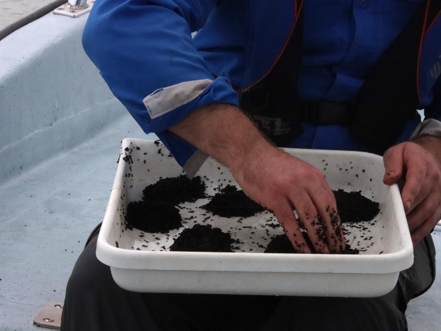
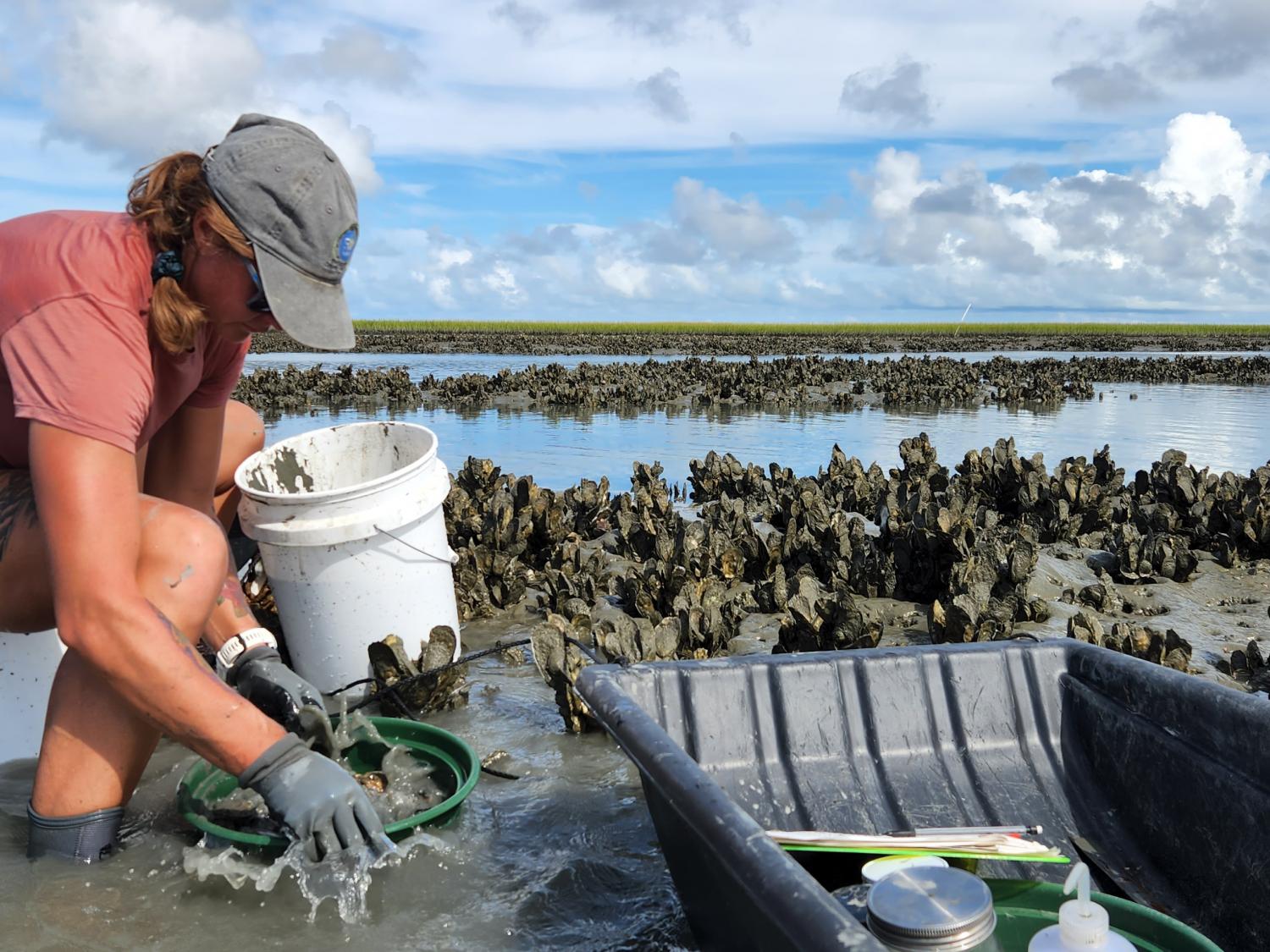
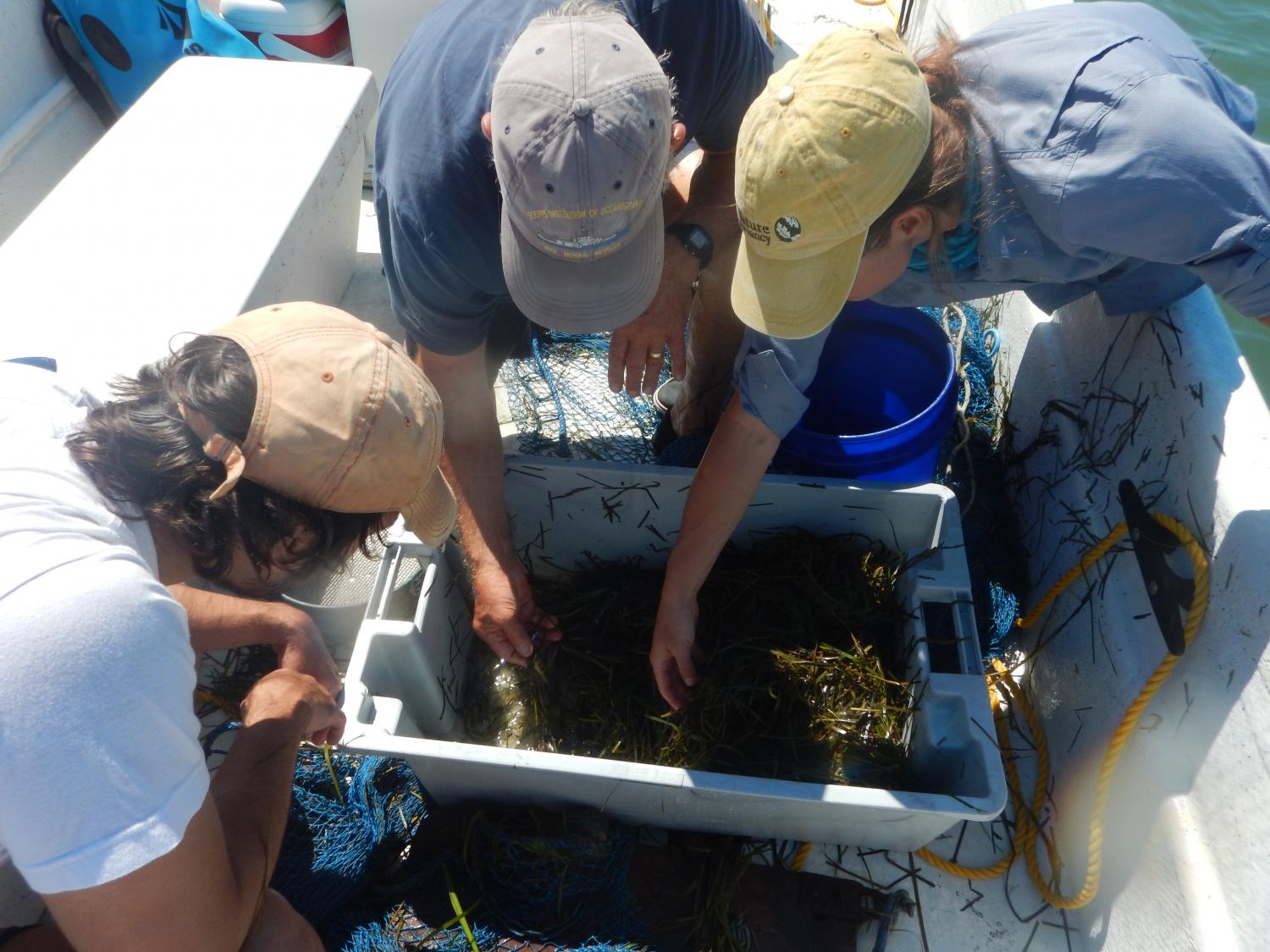
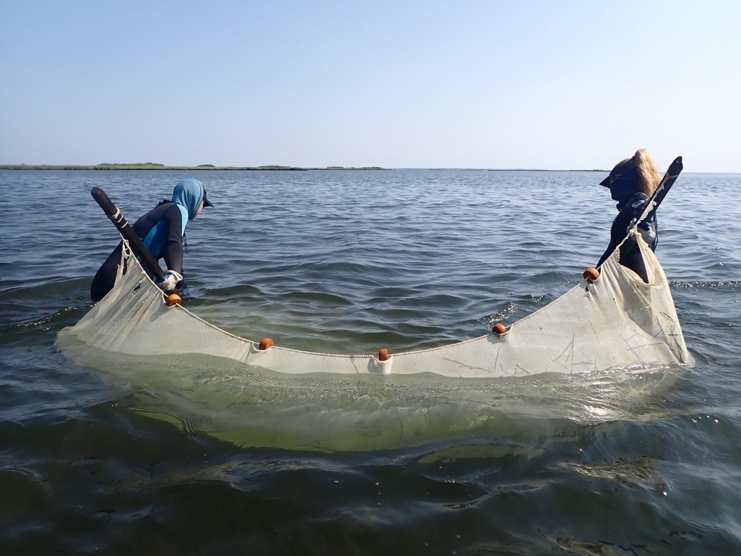
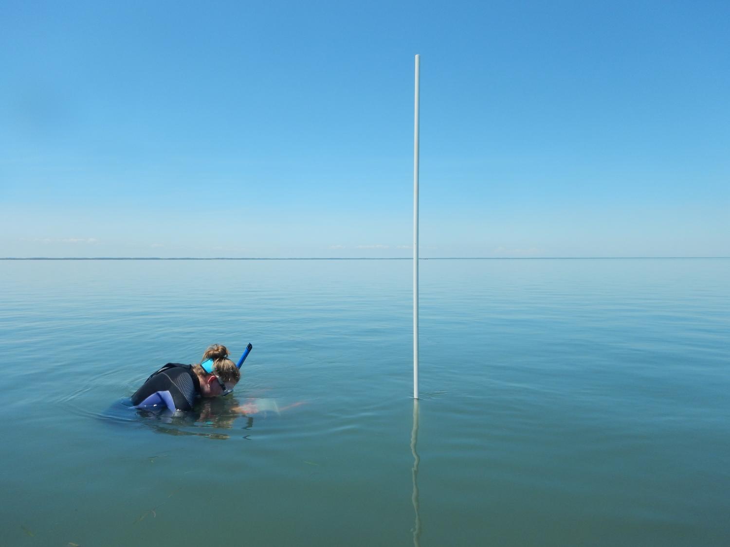
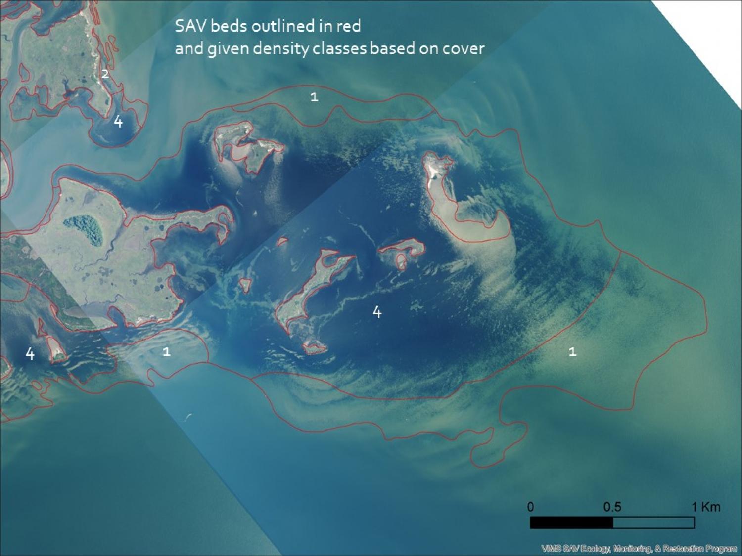
The Chesapeake Bay sites focus on Mobjack Bay and The York River, an estuarine drowned river mouth ecosystem with both deepwater and shallow habitats strongly influenced by riverine inputs and characterized by seagrass meadows dominated by eelgrass (Zostera marina) and widgeon grass (Ruppia maritima), spartina marshes (Sparabola alterniflora), and oyster reefs (Crassostrea virginica). Groups at VIMS maintain multiple long-term monitoring programs within this region. CEEL performs annual seagrass monitoring along fixed transects (n = 24), seagrass faunal sampling, in-situ high frequency temperature monitoring, annual aerial surveys of seagrass in the region (SAV Program), CBNERRS provides long term monitoring of water quality at 15-minute intervals from three permanent monitoring platforms (CBNERRS Monitoring Program), seagrass and wetland monitoring at permanent transects, and atmospheric monitoring. VIMS also conducts annual assessments of oyster reef health and larval recruitment, blue crab populations, and fish communities with some assessments occurring bi-weekly or monthly within the growing season. Some of the key research questions for this area include understanding how the systems will respond to climate change, fisheries management, shellfish aquaculture, understanding system responses to management efforts to enhance water quality.
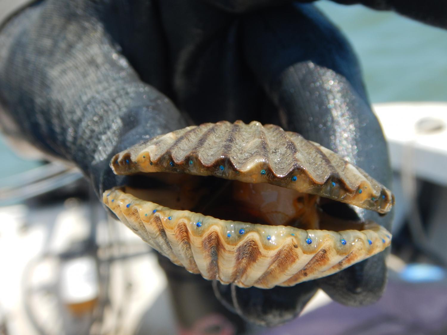
The Coastal Lagoon and Barrier Island systems span the VA coastline from Chincoteague to Fisherman’s Island with monitoring sites mainly centered around the southern and middle regions from South Bay to Burtons Bay. The bays and marsh drainage creeks tend to be shallow (<1 m) with extensive intertidal habitat while channels between marsh islands and inlets can be around 20 m deep. These bays are dominated by full marine salinities with very little freshwater input from groundwater and land drainages. The entire region includes oyster reefs, barrier island habitat for nesting shore birds, extensive spartina marshes, and mudflats and the southern bays contain extensive (~9000 acres) eelgrass meadows restored by VIMS and TNC. Significantly this region is experiencing some of the highest rates of sea level rise worldwide and the barrier island system is extremely dynamic, with island morphology, location of shoals, and channel locations changing rapidly within and among years. Long-term monitoring within the region includes aerial monitoring of seagrass and in-situ faunal and seagrass surveys maintained by VIMS CEEL, water quality monitoring at 15 minute intervals at three fixed locations maintained by VIMS ESL (ESL Water Quality Monitoring) and one by VIMS CEEL, oyster reef monitoring conducted by TNC, a wide suite of annual and seasonal monitoring efforts of physical, biogeochemical, and organismal system components in the southern bays coordinated by UVA via the VCR-LTER and in the middle region of the peninsula by VIMS ESL through it Ecological Monitoring Program (EMP). Key research questions among groups within this region include understanding the effects of seagrass restoration on ecosystem structure and function, including fisheries provisioning and carbon sequestration, microbial fouling films and benthic microalgal production, macroalgae, bay scallop restoration strategies and genetics, shellfish aquaculture, and studying the effects of sea level rise across the ecosystem.
MarineGEO Team
Virginia Institute of Marine Science Coastal and Estuarine Ecology Lab
- Principal Investigator: Chris Patrick
- MarineGEO Techs: Jennifer Gilmore and Corey Holbert
The Nature Conservancy Virginia
- Principal Investigator: Bo Lusk
- Supports MarineGEO Work: Libby Bieri
Virginia Institute of Marine Science Eastern Shore Laboratory
- Principal Investigator: Richard Snyder, Stacy Krueger-Hadfield, and PG Ross
- MarineGEO Techs: Darian Kelley
Virginia Institute of Marine Science Chesapeake Bay National Estuarine Research Reserve Site
- Principal Investigator: William Reay and Carl Friedrichs
University of Virginia’s Virginia Coastal Reserve Long-Term Ecological Research Program
- Principal Investigator: Max Castorani
Participating Institutions
- Virginia Institute of Marine Science Coastal and Estuarine Ecology Lab
- The Nature Conservancy Virginia
- Virginia Institute of Marine Science Eastern Shore Laboratory
- Virginia Institute of Marine Science Chesapeake Bay National Estuarine Research Reserve Site
- University of Virginia’s Virginia Coastal Reserve Long-Term Ecological Research Program
Social Media & Other Resources
